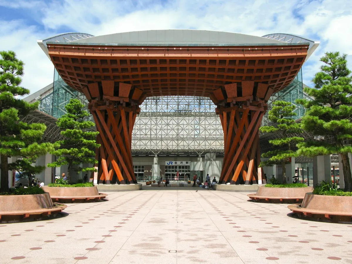
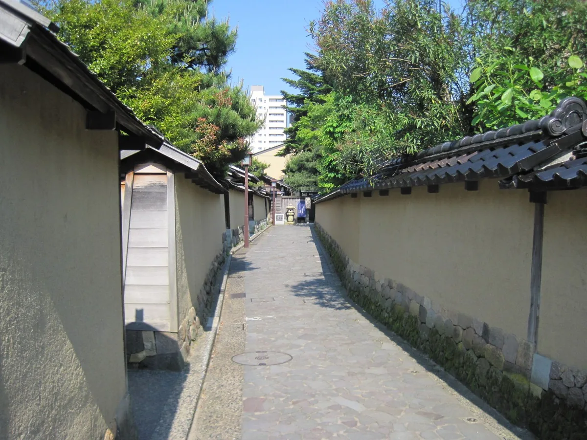
Walking reveals the city's relationship to its rivers, castle ridge and former districts, but it works best in connected segments. The official guide gives illustrative links such as the station to Omicho Market, Kenrokuen to nearby museums, and the garden toward Higashi Chaya or Nagamachi. These examples are orientation aids, not universal walking times. Signals, crowds, rain, snow, slopes and time inside shops or attractions change the real journey.
Loop buses and ordinary local buses help remove the longer links. Check the current route map, direction and exact stop name: a stop serving the castle side may not be the best gate for a particular Kenrokuen route. Pass prices and included services can change, so the current operator page should decide whether a day pass is worthwhile. Taxis are useful for a family, mobility needs, luggage or a sudden downpour, especially when a short cross-town ride protects a timed admission.
Bike share can connect outer neighborhoods for confident riders, but central alleys, pedestrians, wet surfaces and attraction parking rules demand care. A bicycle is not a substitute for checking where riding or parking is permitted. Driving is rarely necessary for the central itinerary, and limited parking can add friction. The most resilient strategy combines walking within each zone, one or two bus or taxi links between zones, and a flexible indoor stop when weather changes.
- Walk within clusters instead of walking every transfer.
- Match the bus stop to the intended attraction gate.
- Recheck pass scope, fares and service dates.
- Use taxis selectively for weather, luggage or mobility.
- Confirm bicycle parking and avoid pedestrian-heavy historic lanes.