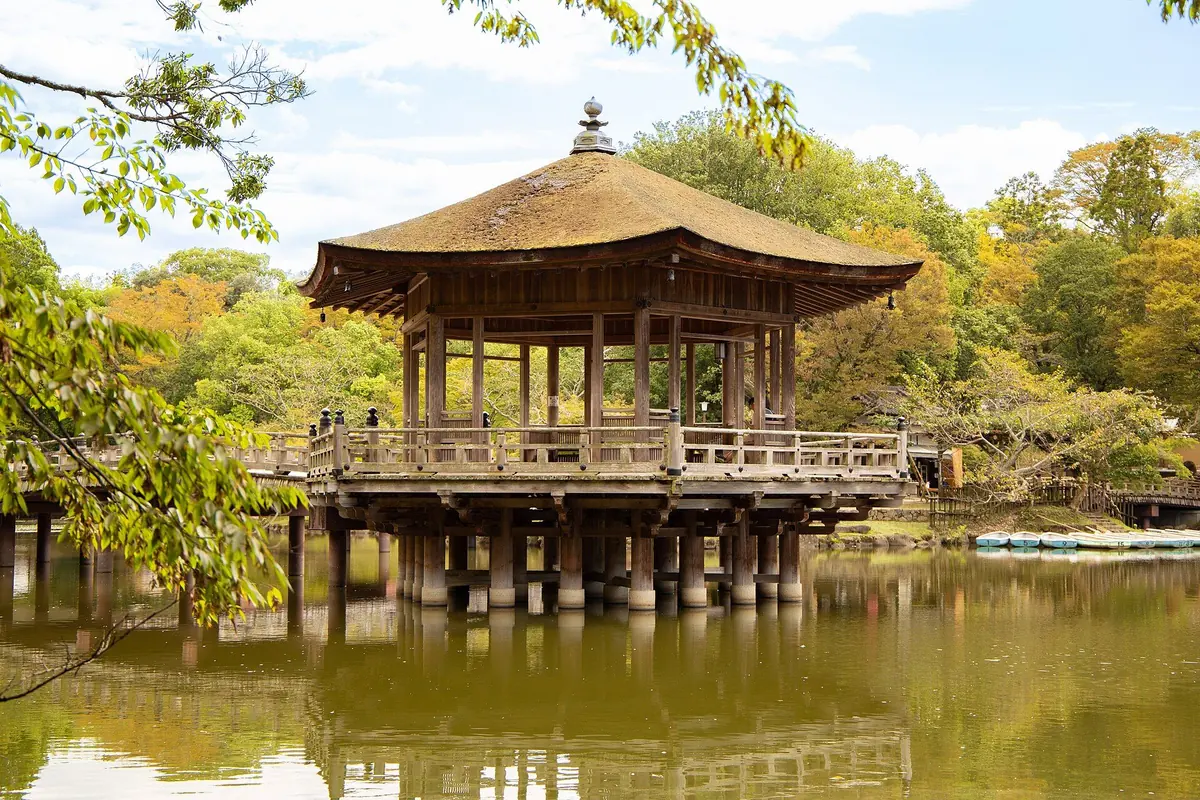
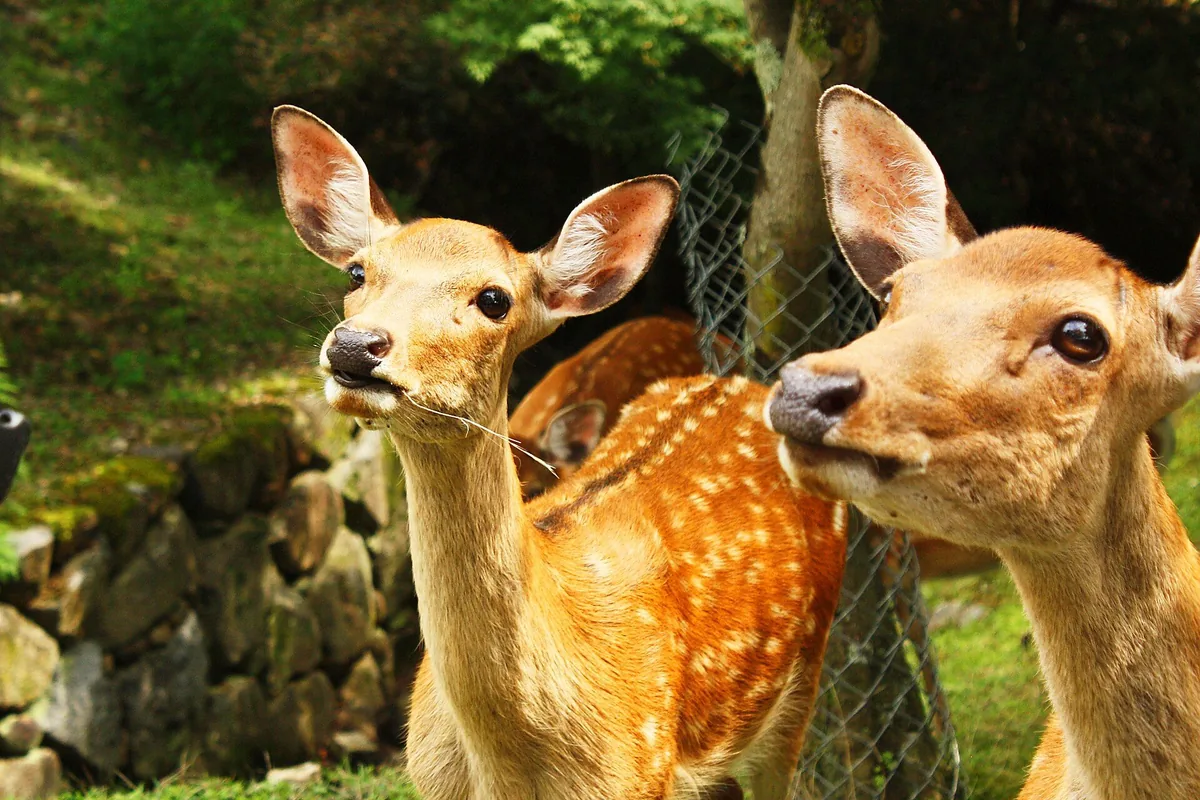
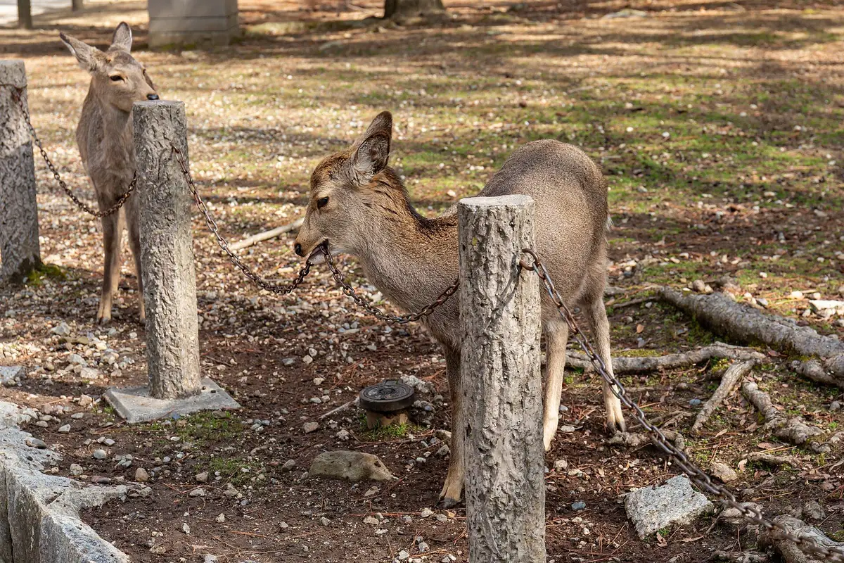
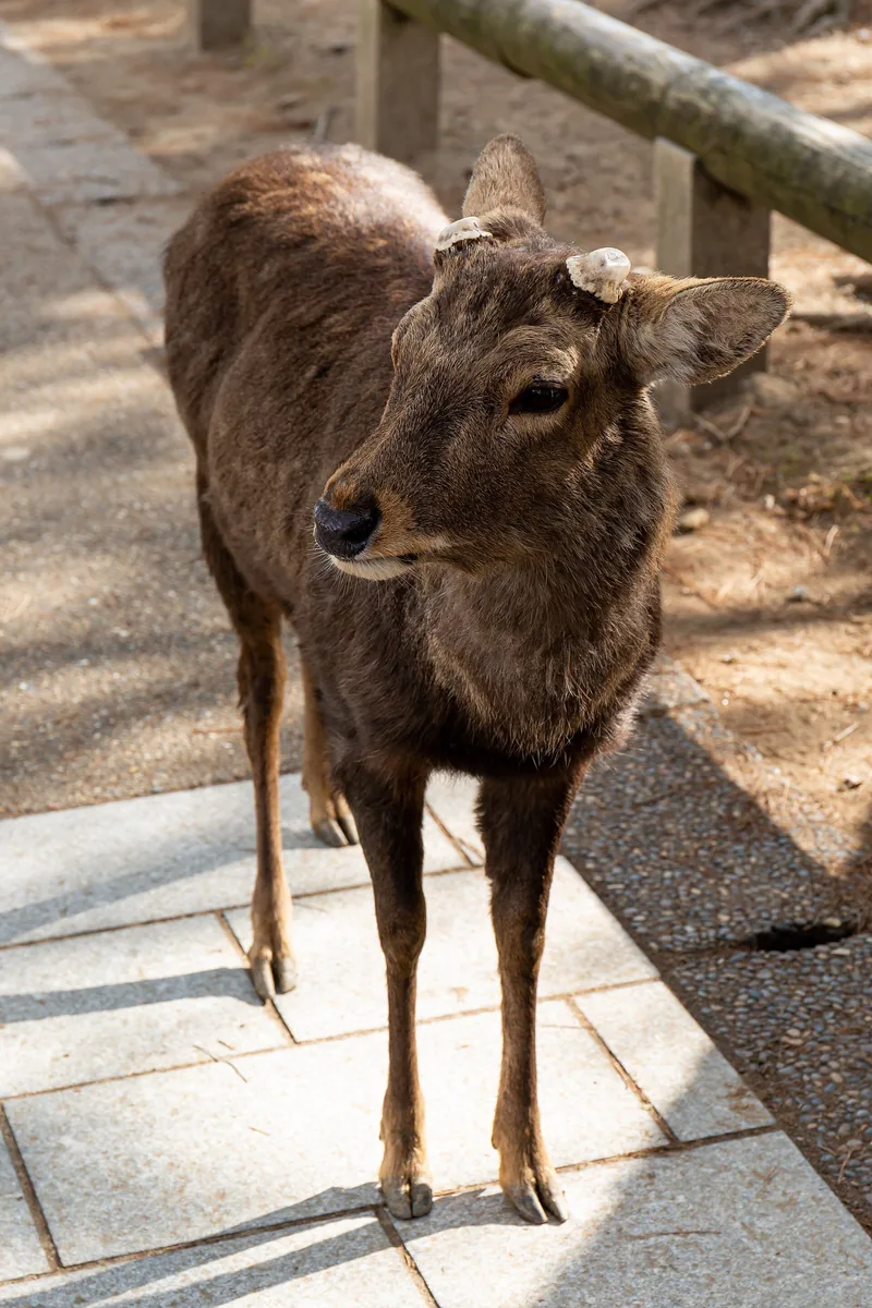
Nara is compact enough for a focused day trip, but its headline sights are not arranged around a single square. Kintetsu Nara Station is the closest rail gateway to the eastern sightseeing core. Kohfukuji and Sarusawa Pond lie just beyond the station area; from there Nara Park extends east and northeast toward Todaiji, Mount Wakakusa and Kasugataisha. The park is a broad landscape containing roads, lawns, woodland, religious precincts and museums rather than one fenced attraction with a single entrance.
JR Nara Station sits farther west. It is useful for JR services and accommodation, but it adds walking or a local bus to the park-facing core. South of the Kintetsu station and Sarusawa area, Naramachi occupies a different visitor zone of narrow streets, small museums, shops, cafés and buildings from several modern historical periods. It combines naturally with Kohfukuji, but it should not be treated as a five-minute extension after a long park circuit.
Western Nara, including the Nishinokyo heritage area, is separate again and works better as a second-day block. This geography explains why a map can look deceptively easy: the principal names sit close together at city scale, yet temple interiors, park paths, deer encounters and queues turn the route into sustained walking. Plan one coherent east-side circuit first, then add Naramachi or western Nara only when time and energy remain.
- Kintetsu Nara: closest rail gateway to Kohfukuji and the park-facing core.
- JR Nara: useful transport and hotel base with a longer final approach.
- Nara Park: a broad open landscape, not one ticketed attraction.
- Naramachi: a distinct southern walking district.
- Nishinokyo: a separate second-day heritage cluster.